A Level Geography Field Trip

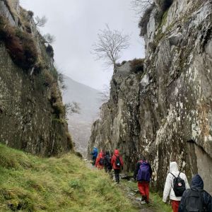
On the 2nd of November, the A-Level Geography cohort headed for Snowdonia. When we arrived, we spent the first day in Llandudno, carrying out human fieldwork investigations, ranging from emotions tied to a place, to the functional change of an area. The following day, we all wrapped up and donned our waterproofs, and braved the hail, to study the relict glacial landscape of Cwm Idwal. This comprised of identifying glacial landforms and features, as well as measuring the compass orientation of depositional and erosional landforms.

On the Thursday, we split into groups to conduct our own data collection for our Non-Examined Assessment (NEA). Back in Llandudno, students gathered data for their questionnaires, studied the changes in architecture in the town, and interviewed a local hotel owner about their contribution to tourists’ experiences. In Cwm Idwal, we decided to base our investigations on the relict glacial landscape; measuring landforms and the impacts of glacial erosion on the surrounding area, and the land management of the of national park. This meant that we could develop a deeper understanding of how the landscape was shaped, and how it can be looked after as a place of public and scientific interest.

We finished the trip off with orienteering on Friday morning, as a group activity that became rather competitive, especially after we found out prizes were available for the winners.
Everyone enjoyed the trip immensely, and we would like to thank the teachers for such an amazing experience.
Katharine Salter